

Weather Update:
Donations
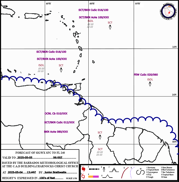
-
Help us to continue our progressive development,we appreciate your kind donation.
Advertisements

Follow Us On Social Media
Aviation
BMS Cam Tower
Model Products
Radar Composites
Barbados Climate Predictions
Lastest Weather Information
Extended Forecast
General Information
| Barbados Meteorological Services Charnocks ChCh Weather Discussion http://www.BarbadosWeather.org Initial to 4 days discussion based on Satellite imagery,BMS Radar composite,S.P.I.E products,GEM, GFS, WW3, UKMET and BMS WRF modeling, surface and upper air observations, Satellite derived products. DATE: 20250711 PERIOD: Evening |
|
Eastern Caribbean ********************** TROPICAL WAVES AT (1800UTC/ 2 PM LST) ********************** A tropical wave was analyzed near 70W south of 16N, moving west at 25 to 30 knots A tropical wave was analyzed near 40W south of 20N, moving west at 25 to 30 knots Time/Date------00Z/12----12Z/12----00Z/13----12Z/13----00Z/14----12Z/14----00Z/15 Wave Position---43W-------46W------49W-------52W-------54W-------58W--------60W A tropical wave was introduced near 21W south of 17N, moving west at 5 to 10 knots. Time/Date------00Z/12----12Z/12----00Z/13----12Z/13----00Z/14----12Z/14----00Z/15----00Z/16----12Z/16 Wave Position---23W-------27W------32W-------36W-------41W-------46W--------50W-------54W--------58W ********************************************************************************************* Convergence trailing the tropical wave near 70W sustained cloudy to overcast skies and intermittent scattered showers across the southern Windwards and Tobago. For the remainder of the island chain, and Barbados, shallow pools of moisture within the ridge pattern resulted in intermittent cloudiness and light passing showers throughout the day. Trinidad was also graced with a dry atmosphere, which kept skies generally sunny. Meanwhile, the Guianas saw a transition from sunny morning skies to an afternoon cloudiness and showers with isolated thunderstorms due to the diurnal heating effect. Winds were generally easterly, peaking at 20 knots here at Charnocks. A bit farther west, St. Lucia's highest wind speed peaked at 22 knots, while gusting up to 29 knots. Seas were moderate in open water, with swells peaking near 2.5m in open water. |
|
Western Caribbean The tropical wave near 70W kept conditions across the central Caribbean Sea unstable throughout the day. Across the islands themselves, the ridge was the dominant feature, which allowed a few localized showers throughout he afternoon session. |
|
Eastern Caribbean Outlook Tonight: Across Barbados and the island chain, the ridge pattern will be the dominant feature. Bar a few isolated showers, triggered by shallow moisture pockets within the ridge, fair weather conditions are forecast. Barbados Forecast Max/Min Temps: 28/24. Saturday: The ridge will remain dominant, enabling mostly sunny skies through the day. Overnight, a trough is set to approach the northern windwards and Leewards, producing scattered light to moderate showers Barbados Forecast Max/Min Temps: 31/24. Sunday: Overnight weather conditions will persist for the Leewards and northern Windwards. Meanwhile, Barbados and the southern Windwards will be within a dry environment. Barbados Forecast Max/Min Temps: 31/24. Monday: The tropical wave near 40W is expected to lose its wind field signature as it approaches the island chain. Nonetheless, by nightfall, increased cloudiness and showers are anticipated. Barbados Forecast Max/Min Temps: 31/24. Tuesday: No significant changes from overnight are expected for Barbados and the island chain as the other tropical wave currently near 21W will be approaching the region. Barbados Forecast Max/Min Temps: 31/24. |
|
Western Caribbean Outlook Tonight: The High-pressure cell will dominate the region. Following the subsidence of afternoon convection, generally dry conditions are forecast. Saturday: High pressure will dominate across the Greater Antilles. Upper-level instability may, however, influence showers across the western Caribbean, particularly during the afternoon. Model data indicates a layer of Saharan dust haze moving across the region. Sunday: A dry trough will drift across the Virgin Islands and Puerto Rico, triggering a few light showers. Otherwise, a strong upper-level diffluent pattern could enhance scattered moderate showers and convective activity. Monday: No significant change in weather conditions from the previous day is expected as the aforementioned trough drifts over Hispaniola. Tuesday: The high-pressure system will regain dominance across the region. Apart from a few afternoon showers, mostly stable conditions are forecast. |
| Meteorologist JONATHAN ALLEYNE |